Greetings and welcome!
We can add last weekend to the list of weekends that didn’t turn out quite the way that the forecast went. Saturday we had a 20% chance of rain and Sunday and Monday a 40% chance (scoff).
We were in Mountain at a horse trail ride and outside most of the day Saturday. It sprinkled on and off and wasn’t too bad until about 3pm. The waves of rain started getting heavier, and eventually it turned into a steady rain. Areas south of 64 saw more heavy rain early, and eventually it made it’s way north.
Sunday and yesterday we got more rain, and not just sprinkles. The USGS gauge by Kosir’s shows 1.5″ of rain so far, and most of it coming Saturday through today. The automated rain gauges don’t always do well with light rain, so I would expect the total in the old fashioned bucket or tube gauge to be a little more.
So what happened? In order to explain that, we have to know what a cut off low pressure area is. The long and short of it is that we had a low pressure system that was not part of the main flow of the northern or southern jet streams. It was more of an eddy between them.
Cut off lows are hard to predict (obviously). Like a hurricane low, it kind of wanders around anywhere it wants to in a manner that is hard to anticipate. Our cut off low has been camping over us for over a week now, and that is starting to get into the unusual category.
As this storm sat over the southern end of Lake Michigan, it circulated the light and very occasional rain showers that we had last week. It was supposed to amble off to the east and leave us a nice weekend. That didn’t happen.
One of the features of a cut off low is that it doesn’t have much moisture to work with. One of the reasons it is cut off is that being between jet streams, there isn’t a lot of moisture flow into the storm. That changed over the weekend when our cut off low found a Gulf of Mexico moisture tap. At that point the storm got more intense, and we saw a lot more rain and even a few thunderstorms.
Things should get better this week. The storm has pinwheeled out, and is not producing as focused of an area of precipitation. That should leave us with more time between rain showers. Eventually a storm coming out of the northwest is expected to move in about Thursday and bump our cut off low back into the main flow and off to the east.
The storm for Thursday will again bring rain, but it is not expected to linger for a week. It does look like it will intensify as it goes through our neighborhood, so rain is a good possibility. What has my attention is the cold north wind behind it for Friday. The isobars on the model are tightly packed, so we could see some wind, and it is straight out of the north.
It is a fairly fast moving storm on the GFS model, and it is quickly followed by a big area of high pressure. Initially the high pressure’s clockwise flow will aid in bringing cold air out of Canada, but as it progresses east, that same clockwise flow will bring warm air from the south for later in the weekend and into next week. Friday’s high temp might not reach 50, Saturdays looks like 55, Sunday 65, and Monday could go almost 70.
Naturally the timing is everything with this scenario. If it comes faster than expected (my hunch) then we could be in for a beautiful weekend. If it comes slower than expected it could be a cold one, and even a little rainy.
When I was checking the USGS rain gauge I noticed that last year was pretty wet right about now too. We had an unusual amount of rain last fall, and last weekend in 2010 was when the Peshtigo River got up to something like +24″. It up to a + 2 or so now, from about -2, and it will rise a lot in the next few days. I am not sure what to expect, but my wild guess is for +6 to +12 by about Friday.
Yesterday I was thinking about little observations that I have made over the last decade. One is that I can’t look at October and say that I have 4 weeks, or 5 days next week to work outside. October weather can be a wild ride. Apparently that applies to late September too.
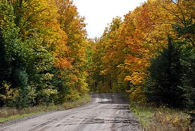
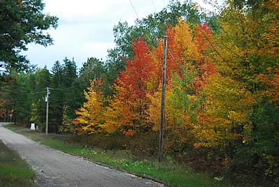
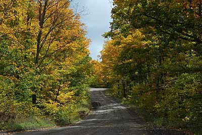
The fall colors really came in late last week and over the weekend. A lot of the really vivid early stuff, particularly in the maple family, has really gotten nice. Some of the underbrush is going yellow, and a lot of trees are either in color or getting close. It is very pretty around here right now, and there is more to come.
Last Wednesday someone posted a notice on a stray or lost dog on the Community Bulletin Board page..
A very friendly, obviously cared for German shepherd was picked up this afternoon running loose on Hwy. C (the part of C that goes to Wabeno) about 1/4 mile from the C & F intersection. The dog was wearing no collar. If this is your dog, or you have an idea who may own it, please give Scott, the town constable, a call.
No one has claimed the dog, and now it is urgent..
There has been no word yet on this dog. I don’t know if anyone actually reads this page, but if someone’s out there, please spread the word! The dog will only be held until the 29th.
If you are looking for a nice dog or kicked one out of your truck, act soon.
Events..
| October 1 |
Dowwtown
Wausaukee |
3rd Annual Wausaukee Fall Fest
9 am – 3 pm – Crafters & Vendors, Bake Sale, Farmers Market
Food & Refreshments, Live Music – Beer Garden, Kids games,
American Legion Bingo at 11 am |
| October 8 |
Crooked Lake Community Center |
2nd Annual CL/Mountain Lions Club Oktoberfest Celebration
Starts at 11 AM – Pig Roast, Liquid Refreshments, Meat Raffle, Hay Rides, Pumpkin Decorating, Craft Sale |
| October 8-9 |
High Falls & Caldron Falls Flowages |
24th Annual Fall Muskie Tournament
Entry deadline is at pre-tourney meeting Oct 7th, at 8pm at Renes Dining.
Tourney hours: 8am-4pm
$60.00 per boat Tournament limited to 50 boats
Cash Prizes – Registration forms available@ Popp’s |
For the snowmobiler this weekend is the Wausau snowmobile grass drags and swap meet. It is the biggest snowmobile swap meet in WI, and they have the grass drags plus ATV and tractor pulls too. I haven’t been there in a few years, but it was worth the ride when I went.
That is about it for today. Have a good week and thank you for visiting!
RJB


