2017

Friday July 7, 2017

Greetings and welcome!

I am happy to report that the storm that came with the passage of the cold front was not even close to what it could have been. We had a good light show, some good downpours, and even some brief hail, but no severe weather.

The lightning tracker that I use showed some intense lightning about 20 miles north between about Crandon and Goodman. Radar returns showed 0.5-1″ of rain in that area. Yes, much of it hit the Peshtigo River watershed.

I also saw that an area east of Wausaukee about 15-20 miles over in Michigan had an intense cell with lots of lightning. There were numerous reports of wind damage and trees down in the Daggett, Wallace, and Stephenson, MI area on the morning news.

I am happy that it did not turn out to be a more violent storm. A 3,000 CAPE is very much a cause for concern.

We still have a chance of storms today, though they are not expected to be severe.

The weather for the weekend looks nice, at least to start. We are looking at mid to upper 70s both days. I will add a slight chance of a storm Saturday night. Sunday we will see rain chances increase as the day progresses.

Here is a banner for the Athelstane VFD picnic this weekend.

This weekend is also the first of the Bear Point Yacht Club float trips down the Menominee River. They will be having them every Saturday in July.

That is my update for this morning. Have a good weekend and thank you for visiting!

RJB

Wednesday July 5th, 2017

Greetings and welcome!

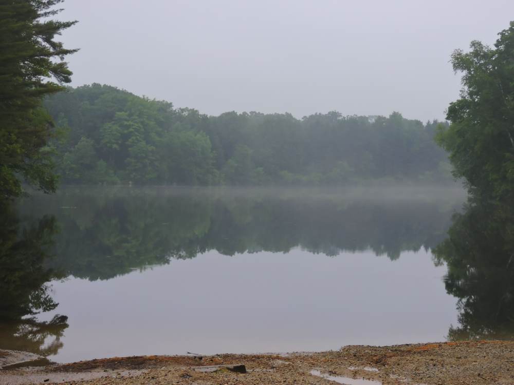
Wow what a weekend! There were a lot of people around and they were doing all of the fun things that we do in summer up here. The weather smiled on us with only a few afternoon showers one day. The rest of the weekend was very nice for weather.

The gators were present in my travels last weekend. I told Chris that they must have had friends over for the holiday. Even with my Repel I still got a lump or two. There were also a lot of damsel flies, and some big moths too. A mayfly hatch started near the river Monday night, making them plentiful.

The whitewater rafting was outstanding, and a lot of people took to the river for the abnormally high water levels. It was a blast. There were epic boat emptying flips, crashes, and a few raft burials where they went so deep into the rapid that only a paddle or helmet was sticking up out of the water. The people loved it and it was fun to be around.

With people having a great time and doing crazy fun things I sold a few photo CDs, and that made me happy too. Monday night was kind of the last big party night and we were having fun at the Rapids. Later on I remembered that I had a tube of glow necklaces that I was going to sell earlier in the summer, and it was free double glow necklaces for everyone. We had a blast.

With the holiday falling on Tuesday we are going to do it again  in three days. Looking at the TV it says that Saturday and Sunday should be nice and in the low 80s. The NWS version has us in the upper 70s and nice weather both days.

I am going to throw in a chance of a passing shower or storm Saturday night and again Sunday. There is a low pressure area up in Canada that could send a little unstable air our way as it moves toward us for Monday. Right now I wouldn’t put the chances over 20-30%, but the possibility of a passing shower or storm exists. The more significant rain comes Monday afternoon. As long as the timing stays the same we are golden for the weekend. I will keep an eye on it.

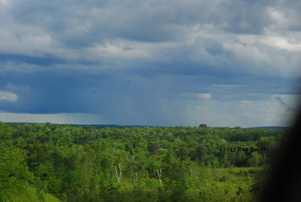
We have some interesting weather ahead in the short term. We are expecting to get into the mid-80s today and upper 80s tomorrow. The atmosphere will be hot and juicy with humidity. There is a chance of storms later today and tonight again Thursday and Thursday night.

How this all goes down is a big question. If we have some storms tonight and tomorrow and it takes some of the energy out of the atmosphere we will do ok Thursday evening when the cold front comes through. If the storms in the meantime don’t take some of the pressure off and all of that heat and humidity is still here when the cold front comes through the possibility of severe weather is there.

What I am seeing in some prognostications is a bit of a powder keg for Thursday night if it lines up just right. The NWS hazardous weather outlook includes the wording “Severe thunderstorms with hail over 2 inches in diameter and wind gusts over 75 mph are possible Thursday afternoon and evening.”.

The SPC has us at an enhanced risk for severe weather Thursday and Thursday night. That puts us at a 3 out of 5 and you don’t ever want to see a 4 or 5. I keep saying that, so here is the scale..

3-ENH (orange) – Enhanced risk – An area of greater (relative to Slight risk) severe storm coverage with varying levels of intensity.

4-MDT (red) – Moderate risk – An area where widespread severe weather with several tornadoes and/or numerous severe thunderstorms is likely, some of which should be intense. This risk is usually reserved for days with several supercells producing intense tornadoes and/or very large hail, or an intense squall line with widespread damaging winds.


5-HIGH (magenta) – High risk – An area where a severe weather outbreak is expected from either numerous intense and long-tracked tornadoes or a long-lived derecho-producing thunderstorm complex that produces hurricane-force wind gusts and widespread damage. This risk is reserved for when high confidence exists in widespread coverage of severe weather with embedded instances of extreme severe (i.e., violent tornadoes or very damaging convective wind events).

Like I said, hopefully we never see a 4 or 5.

What has my attention is the potential CAPE values. I am seeing estimations in the 3,000j/kg range. The Bear Paw tornado happened on a day when they were around 2,000. I didn’t think that physics in tech school was much fun, but the physics behind a CAPE value like that is very impressive, and a little scary.

The really fun part is that all of that severe weather potential is based on a great big giant maybe. If the storms tonight and tomorrow take the pressure off, then we should do ok Thursday night. If not we should be weather aware.

Events-

This weekend we have the Athelstane VFD Picnic. I will try to get a snapshot of a sign.

Beyond that the only events that I have for this weekend for Marinette or Oconto Co is the water ski shows.

But– If we go to Forest County, there are a lot of happenings. Here is a link to the site with the various posters.

Wabeno Steam-Up Days is a cool event with all of the old tractors and machinery and hit n miss engines. I only made it once, but the equipment there was really nice.

Laona is having a VFD picnic and parade, and Pickerel is having their Family Fest.

Next weekend is the Lakewood Mardi Gras, and the weekend after is Hog Wrestling.

There is a Town of Silver Cliff special meeting coming up July 10th over the issue of allowing ATVs on Parkway Rd between the south town line and the Red Pine BP. This road is currently closed to ATVs after a landowner threatened to shut down a section of snowmobile trail if ATVs were allowed on the road. The couple of miles of road would be a tremendous benefit to riders in that area who would be able to get to the gas station and to the north trails to Athelstane, Goodman, and Dunbar.

The long weekend has me a little behind in my work, so it is time to run along. Have a good week and thank you for visiting!

RJB

Fun thought of the day.. Sure the early bird gets the worm, but it is the second mouse that gets the cheese. First isn’t always better.


Thursday 6-29-17

Greetings and welcome!
The big four day holiday weekend is only one day away. I don’t have any events to add yet, or for that matter much to add to the forecast.

Right now the weather for the weekend looks pretty decent. There are minor rain chances Fri-Sun, but nothing organized. What I am seeing is typical summer afternoon heating instability type storms. There are no organized lines of storms, low pressure areas, or anything like that.

I made it pretty clear that I don’t have a lot of faith in holiday weekend forecasts. There is an old saying about fool me once, shame on you, fool me 973 times, shame on me. So the plan is to go for it on weekend activities, but be ready if a storm brews up.

As previously mentioned, I have a little work on my plate. Last night about sunset I hit a boiling point and went for a ride in the woods. The new Nikon again amazed when it pulled off this picture in near darkness. It has a night landscape mode that takes about 5 pictures and processes them into one. I like it! It isn’t any good for moving stuff like wildlife at dusk, but it does a fine landscape.

My ride was not uneventful. The tally was 9 deer, a bear, and a big owl that was within about 10 feet of the car. There were a lot of white moths, and quite a few of the really big ones like the Cecropia. The humidity from the rain made a lot of mist and eventually fog, and that was pretty in its own way. It was a good way to unwind a little.

Speaking of moths, for the past few weeks I have not been using my motion activated flood light out front. It was turning on almost constantly from the bats. The bugs would be by the light, the bats would swoop in to eat them and on goes the light. The same thing happens a lot with the motion activated security cameras. I still don’t have an answer without declaring war on the insect world.

People going whitewater rafting this weekend are in for a real treat. The Peshtigo River remains at record levels, and is running at about a +14 right now. It has never been this high on this date in the 19 years of records.

A +14″ is an ideal level because you can take a 2 person raft or go for it in a one person funyak. The best part is that all of those rocks that usually hang you up at this time of year are under a foot of water, and are now fun splashy mini-rapids. Rafting this weekend is highly recommended.

I will be at Kosir’s taking pictures, and at Rapids Resort between trips selling them, and I will have my flashlights & lanterns for sale too. Stop by and say hello if you are in the neighborhood.

There is the clock hounding me again, so I am going to wander off to the next task. Have a good weekend and thank you for visiting!
RJB

Tuesday 6-27-2017

Greetings and welcome!

I have gathered up all of the events that I could find for the big July 4th weekend. There might be more out of Pound or Coleman. I am out of time at the moment, but I will see what I can find.

Right now the weekend looks mostly good for weather.What I am seeing on the GFS is a chance for rain nightly from Fri-Sun nights. The way that I am reading it there isn’t an organized storm, but rather a somewhat unstable atmosphere that could brew up afternoon/evening storms from daytime heating. (..Pretty typical in summer around here) I sure wouldn’t cancel weekend plans, but being ready for rain at any given time would be a good set of choices.

Now.. The NWS is on my (Poop) list after last weekend, and are pretty low on credibility for a holiday weekend forecast. Last Friday late afternoon there was only a minor chance of an afternoon storm from daytime heating and instability for Saturday evening. Saturday morning I wake up and there is a 70% chance of rain Saturday and Sunday, and 60% Saturday night.

And rain it did… we had occasional showers  like the one in the picture both days and the night too. Like I said on Facebook, just be glad that they aren’t managing your retirement account.

I am underwater with work this week and it is not going well. The phone is ringing with more, and I am all about making hay while the sun shines. My updates might not be on time, but there will be a late week update with my latest guess at the weather and any new events.

Here is the list that I gathered up. It isn’t in any particular order, other than the timing of when I came across the events. Gillette, Crivitz, and Crandon have too much going on to list here, and you should click through the link.

It is time for me to get back to work. I will return soon. Have a good weekend and thank you for visiting!

RJB


Fri June 30thCaldron Falls Bar & Grill- 1 yr Anniversary Bash, Free Pig roast, Band, and Fireworks. From 8pm to midnight


Tuesday July 4th

Townsend (link)

Fireworks at dusk at the Townsend Ball Park.


Mon & Tue July 3 & 4

Gillette- (Link)- Way too much going on to list here. Click the link. Car show, truck/tractor/horse pulls, way more.


Wausaukee Saturday July 1st, 2017- 5K walk/run, parade, music, festivities, fireworks. See poster.


Mountain, WI

Fireworks on the Pond
Date: June 30, 2017

Location: Everbreeze Resort-Mountain, WI


Saturday July 1st Mountain, WI big celebration-


Crivitz Tuesday July 4th– (Link)Big celebration parade at 11am, fireworks at dusk, music, flea market, more


Crooked Lake- Sat July 1st– Crooked Lake Sportsman’s Club Annual Picnic- 11am to 7pm- Raffles, trout pond and money pit for kids,  food & drink


Goodman Saturday July 1st– Fireworks 9:30pmGoodman Township Park


Forest Co & Crandon-(Link)

June 30- July 2 at Crandon raceway- big celebration, carnival fireworks, music-see link.

Sat July 1– Crandon Parade, celebration, fireworks, see link.


Crivitz Ski Cats (Link) Saturday July 1st– 3:00 Food and Fun, 6:00 pm show, FIREWORKS at dusk!


Twin Bridge Ski Team (Link) Saturday July 1st– Water ski show, fireworks at dusk