November 2019

Tuesday 11-12-19

Note- This is my last update here until late winter-early spring. Follow me over to the BigSnowPage where I do all of the same weather and events but with snowmobile trail info too. https://bigsnowpage.com .

Greetings and welcome!

Morning update- We had another dusting of snow overnight. Wabeno hit zero last night. At noon the TV says that Wabeno is at 10 degrees with a 3 degree wind chill. Athelstane weather says that we are up to 18 degrees with an 11 degree wind chill.

9:45pm Monday night

It is the heart of the cold that is chilling my bones tonight. Looking at the TV weather channel 2-2 out of Green Bay they show Wabeno down to 4 degrees. Other area stations are a little better with readings or 7,9,10, and farther south 15 degrees. Our morning low is expected to be 2, with a -15 or -18 wind chill.

On the other end of it we saw low 20s for a high temperature today, and there was some wind. Several stations on TV never made it to 20 today.

Tomorrow looks like a reprint of today.. lucky if we hit 20 for a high temperature and low temperatures overnight close to zero (2F).

Our normal high today should be in the low to mid-40s and our typical low temp is about 25. That puts us solidly 20 degrees below normal, and for some people 25 degrees.

Ray’s law of variability says that a 15 degree divergence from normal temperatures is common, 20 degrees abnormal but not all that unusual, 25 unusual, and 30 degrees very unusual.

Winter is here, and it is here to stay. I expect to see a little break in the arctic flow next week, but that also comes with a couple of possible big storms (11-22 and 11-27).

This Wednesday a little snow (1-3 or 2-4”) will mark an end of high temperatures of about 20 and bring some low to mid-30s. Saturday and Sunday we could get close to 40 with a little snow. Next week we could get into the mid-40s briefly.

Here is a picture of the ice lilies and ice chunks coming down the Peshtigo River By Rapids Resort Monday at about noon.


This one is a picture of Caldron Falls Flowage from Echo Point about ½ mile upstream of Landing 11. It was frozen across as far as I could see and up the river too.


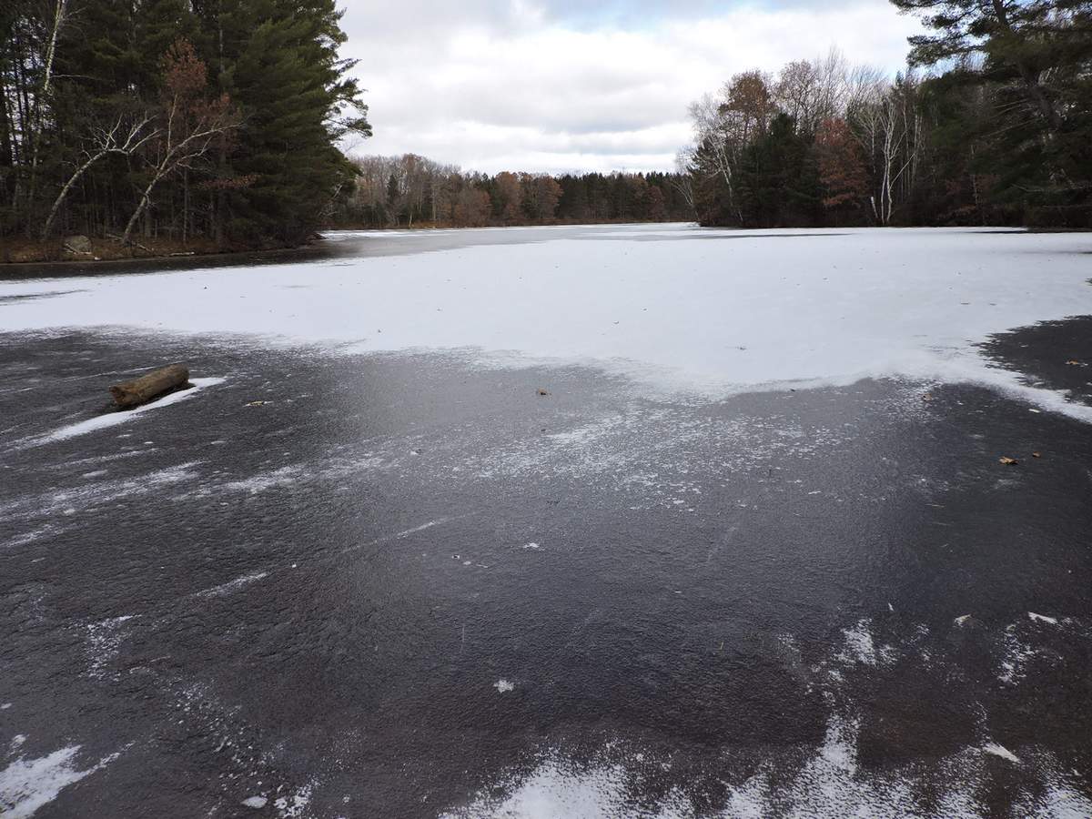
This one is at Boat Landing 11. I would have liked to walk out a little with a spud bar and ropes, but I was alone with no equipment and on the way to work. I could have easily walked more than a few feet off of the landing.


On the way to Crooked Lake Boundary Lake on the Oconto/Marinette Co line at Hwy W was frozen across except for a very small open area in the middle.

The ground is well frozen. I don’t mind that for the snowmobiling season as long as we don’t get too much of a good thing. A couple of feet helps firm up swamps and hold the snow. Too much isn’t good though. One year we had 6-8 feet of frost that froze septic tanks and incoming well pipes. That was a bitter cold snowless winter.

Looking at the TV I see that the central UP is getting some lake effect snow.

Apparently the dusting of snow that we had a couple of mornings ago stuck to the roads a little. I found a snow and ice covered spot in the forest that was heavily shaded by the pines. Yes it was pretty slippery there. I also saw where they salted Hwy A between Crivitz and Athelstane. There is another sign that winter is here.`

A lot of people really got caught unprepared for winter to start in late October. I am one of them. I Have stuff that is frozen that shouldn’t be, my cars are not ready, I am about ¼ of the way done with firewood, my Reddy heater, snowmobiles, and snowblower are in need of repair, and the list continues on for a while. Normally I would have 2-3 more weeks to wrap that stuff up.

I am not alone. People are finding out about cars that won’t start, vulnerable plumbing, and winterizing that needs to be done. It is an unusual fall and a lot of us got caught by it. The official start to winter is still almost 40 days away.

Gun deer season is a little late this year, running from Saturday 11-23 until Sunday December 1st.

There is a deer hunter’s bake sale Thursday Nov 21 at Firelane Bar from 3-6:30pm. The one at Jungle Jim’s is Friday Nov 22 from 9am-3pm.

That’s news for today. Have a good week and thank you for visiting!

RJB

Tuesday November 5th, 2019

Greetings and welcome!

In my last update I mentioned that the lakes and ground were not freezing. That has changed. I haven’t seen ice on the Peshtigo River by Rapids Resort yet. The little pond on Hwy A about 2 miles south of C was frozen over several times last week with skin ice, and likely is this morning.
If we are not making ice on bigger lakes we are getting close to it. I haven’t tried to dig in the ground but that seems to be freezing up too. A couple of splotches of snow remain in the deep shadow on the north side of the house and we had a dusting overnight that did not melt on contact, even on roads.
Saturday I was out cutting & splitting wood in the afternoon. It was in the low 30s with heavy clouds, a bitter damp wind, and snow was going to start any minute. I was getting tired and hungry and cold. I went inside a little early thinking that the weather wasn’t a whole lot worse than a nasty December day and that there would be better days ahead.

Ooops.

We should be in the mid to upper 40s right now. We are lucky to see low-30s. Last night we got down to 18F and we are looking at a high of 29 today.
This coming week it will get worse. Thursday the NWS forecast is for a high of 28 and a low of 13. Friday is about the same, but a few degrees warmer overnight. Most days we will see a high around freezing. That will freeze pipes. You need to winterize unheated plumbing very very soon.
Looking at the 16 day GFS forecast we are headed for much below normal temperatures for at least 10 days. The pattern that I am seeing is pumping cold air down into the Midwest right out of the Arctic. (Yes the polar vortex if you must) Most of the 850mb temperatures that I see (about 2-3,000 feet up) range from 0F to +10F. That’s pretty cold for early November. While that doesn’t directly translate to our temperatures here on the surface it does demonstrate a very cold air mass.
Our typical high temperatures right now would be in the mid to upper 40s. We are consistently 15-20 degrees below normal. I absolutely hate that because I have seen this cartoon before.. We will be 20 degrees below normal until that cold December weather IS normal, cheating us out of six weeks of fall weather. None of this fits well with the weeks of pre-winter outside chores that I have ahead of me.
I fully expect to have frozen ground and a skin on some lakes by late week. If the 10 day forecast works out we will have a significant start on freezing everything up.
We have had several rounds of snow in the region. Most of the snow that made it here was on radar only. A few flakes made wet spots on the cement Sunday night, about the equivalent of a passing sprinkle. We have not had accumulating snow since last Tuesday 10/29.
There is a chance of snow Tuesday night into Wednesday that could bring a couple of inches if it moves a little north.
We are not alone with the early cold weather. I was reading an article last night about low temperature records being set across the US, Canada, and Europe. Early snows brought devastating crop losses to the Dakotas, MN, and a good sized chunk of west central Canada. The list went on and on with early winter records and reports from around the northern hemisphere. It was some grade AAA doom p**n but it was real.

So what is going on? The above mentioned article was trying to associate our cold northern hemisphere with our solar minimum. Solar cycle 24 is indeed bringing a deep solar minimum. So far this year our sun has been spotless 75% of the days. Some people are trying to compare it to the Maunder minimum (the little ice age). Not even close- yet.
While reduced solar output will certainly affect our climate, I am more likely to blame more short term oscillations in our climate like the PDO, AMO, AO, and the one that we all know, ENSO, the El Nino Southern Oscillation. I am not quite ready to declare it an ice age just yet.
Ok so winter is off to an early and rowdy start. My first thought is to be ready for a rough ride. The next thought is what happens when the rubber band snaps back? Honestly that is an answer that I don’t have.

For right now we are a lot colder than normal and we will be for the near future. The takeaways-
1) Winterize plumbing much earlier than usual this year. I hope to do my well house and camper later today.
2) The ground and lakes will freeze up early this year.
3) It is going to suck to be me finishing up weeks of my outside chores in sub-freezing weather when the weather should be at 45F.

Well I am off to go to work. Have a good week and thank you for visiting!
RJB