10:30pm
The storm has passed with no damage at all here. It was a tremendous light show with plenty of rumbling and a little heavy rain. The wind blew a little but did not get big.
At one point I was dressed with the car door unlocked ready to flee to a basement. There were some impressive cloud formations coming my way and the radar looked grim. There was almost the beginnings of a tornado* between here and Lakewood but nothing came of it. (*Inbound & outbound winds on the radar converging)
The TV radar showed some high winds from about Lakewood down to Mountain west of 32 and over toward Hwy 55. The radar clocked winds over 60. The NWS reported trees down in Mountain and Crivitz.
One other thought.. it seemed like a lot of the lightning was cloud to cloud. There were not a lot of ground strikes here.
There may be damage in other areas. I don’t know. Hopefully we got off easy because the storm came through at sunset without the sun causing additional convection.
There were a lot of power outages around Rhinelander, Merril and Antigo earlier in the storm. I suspect that they had wind damage in those areas.
RJB
..it’s a hot one.. like 7 inches from the mid-day sun…
Greetings and welcome!
At 4:.30pm Athelstane Weather is showing us at 91.6F off of a high of 95.5. The dew point is at 76, downright tropical for humidity levels. It starts getting uncomfortable at about a 60 degree dew point and we have 72. Between the heat and humidity it is brutal outside.
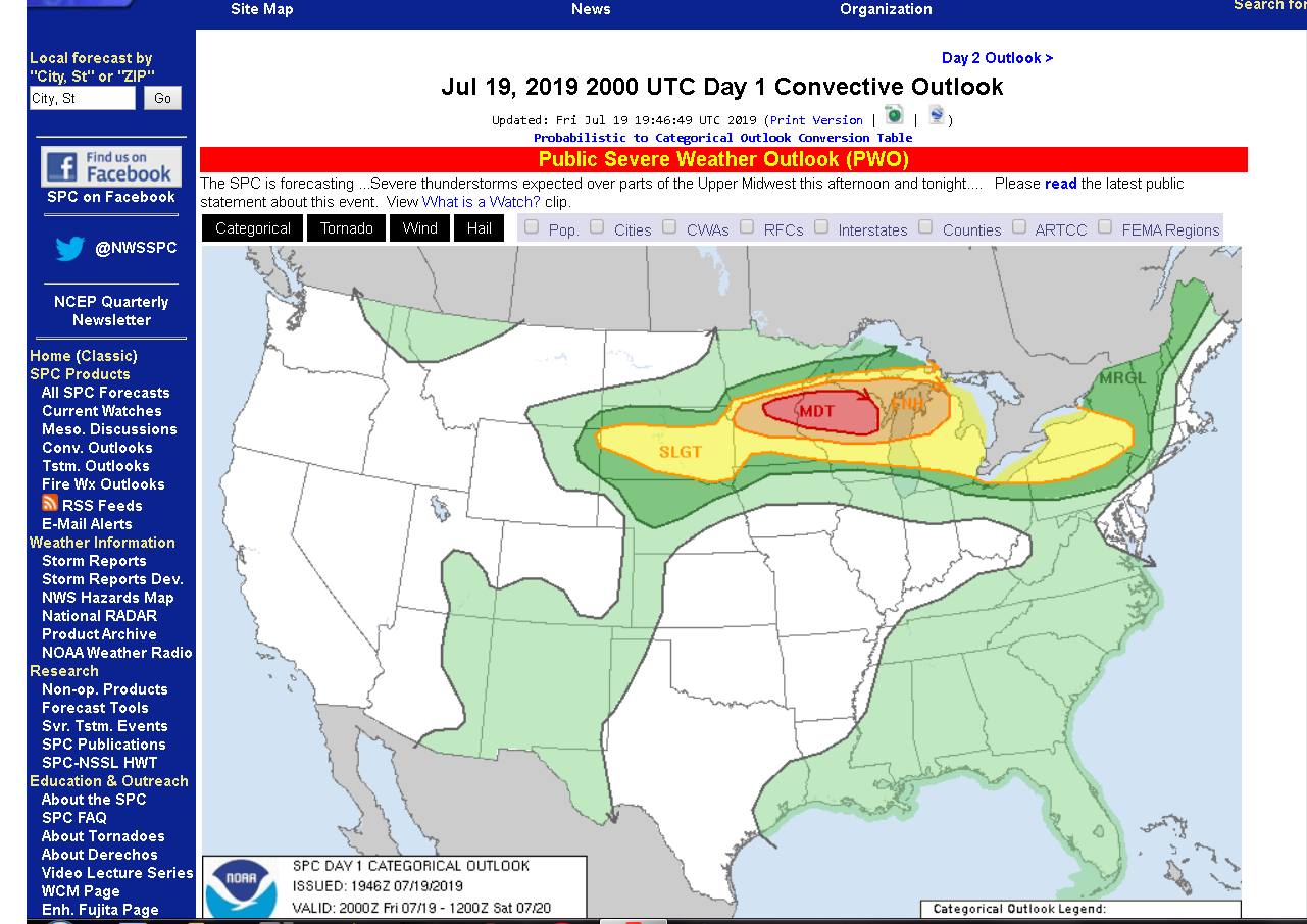
With that moist of an atmosphere holding that much heat something real bad is bound to happen. Severe weather somewhere is almost guaranteed. I looked up the CAPE values and shear and became very concerned. This is not good at all. On a 1-6 scale of severe weather potential we are at a 4 or 5.
CAPE values- In a gross oversimplification CAPE is a measurement of how buoyant the air by the surface is. That hot air wants to rise and the cold air above it wants to fall. That hot air rising violently can cause thunderstorms, and the more violently that it wants to rise the more likely that the storms will become severe.
I hated physics in tech school. Once I became a weather watcher that changed a lot. I look at the physics behind a CAPE 4,000 atmosphere and it is really impressive how powerful the forces in play are.
The CAPE values on the day of the Bear Paw-Riverview tornado were in about the 2,000 j/kg range if memory serves me. Anything over about a 1,500 j/kg CAPE has my full attention. Today we are close to 4,000. The CAPE and shear in the atmosphere are at extreme levels and I am very concerned and maybe a little scared.
I don’t want to sensationalize it but those dynamics are very close to what they had in Joplin, MO the day of their deadly mile wide EF5 tornado. CAPE- Joplin-4,210 Today- about 4,000. Shear- Joplin 43kts Today- potential for 40-45kts. Not good. Not good at all.
There is nothing to say that the storms will hit here or even near here, but it is almost inevitable that they will hit somewhere.
I am not going to go on and on about it but people should have an action plan if the weather does go severe, and stay close to a radio or TV for warnings. It is a pretty dangerous setup in the atmosphere.
Anyway tomorrow is the big Hog Wrestle at the Caldron Falls Bar. That is a huge event that brings thousands of people to the area. There is live music, food, vendors, and fireworks after the bands at night. It is a big deal.
The big event usually also brings a significant law enforcement presence to the area. Use your designated drivers or one of the many ride services if you are going to drink, and maybe save that fistfight with your brother in law for another time. It is a fun weekend but getting out of line is a bad idea.
The weather for tomorrow is a question mark. It should be nice out with highs around 80 once the atmosphere calms down. Depending on how much heat and humidity remain after tonight’s storms there could be more storms and then a nice day, or just a nice day. There is a small chance of storms into tomorrow night. There is our question mark. Sunday looks like it will be sunny and 79.
We had some thunderstorms this week and apparently they hit the Peshtigo River watershed just right. The Pesh is running at almost 600fcs, a really fun level for rafting or tubing. That translates to about a +8″ on the bridge gauge. The Menominee River is also running at good levels for rafting, depending on the dam keeper’s whim, 1,000-2,000cfs. Either river (or both) would be a good activity this weekend.
It is summer. in Northern Wisconsin. Bring Repel. Fleet farm in Antigo had a 2 pack of the 40% stuff that I use on sale for $6.
I have been late or missing here with my updates for a lot of this summer. I am not losing interest, I am just really overwhelmed with work. It is a good thing to have a lot of work most of the time. My wallet is happy about it, but it has come at a price of most of my free time. I am hoping that it will get better soon.
That is it for me today. Keep an eye on the sky and have a great weekend and thank you for visiting!
RJB