Uncategorized

Tuesday September 7th, 2010 pt 2

Greetings and welcome!

We have a cold windy overcast day today with a few scattered showers. Like the weekend, it is a reminder that winter is around the corner. More about that later.

The winds have been strong. The TV said that Chilton recorded a gust of 51, and our friends at Athelstane Weather have a peak gust of 41 showing.

Normally when you have southwest winds they are warm. Not with this storm. Apparently it is pulling enough cold air down from Canada and wrapping it in, that it is cold in the SW quadrant of the storm where we are.

The majority of the rain from the storm came after about dinnertime Monday. It did rain pretty good and we had some lightning and rumbles of thunder too. Some of the storms got pretty heavy with the rain, and we were in spots of red and orange on the radar. The last big wave intensified as it went east and showed dark red not to far northeast of here. Those were probably some good downpours.

As usual the rainfall reports vary. The radar returns showed between .5 and 1″. Athelstane Weather shows 0.59″, and the USGS is in with a little over 4/10ths by the Peshtigo River.

The NWS and TV weather guys have put out the possibility of some power lines going down. The thought is that with the wet soil and strong winds, some trees would be more likely to uproot and hit lines. So far so good, but it is a possibility.

To me the big storms late week and again Monday represent a changing of the seasons. The cold from Canada is making it’s first fall incursion into the areas, along with upper air temps that I haven’t seen since April or so. It isn’t cold enough to snow, but it is within 4ºC in the upper atmosphere not too far from here. I consider it fair warning.

As usual I am in a total panic about fall and all of the stuff that I need to do before it gets cold or snows. The biggie is firewood. I got a nice start early season, but stopped cutting when it got humid and hot. I’d be out there today with the cool temps, but dropping trees in 40mph winds sounds like a bad idea.

We are almost certain to have a La Nina winter this year. The probability of it are above 90% through January and it is expected to hang on until spring. It looks like it will be a good one. We have quickly plunged into a moderate La Nina, and it could go deep. La Nina is the cold phase of the El Nino Southern Oscillation (ENSO), one of many drivers of our weather. If it is an accurate indication, this winter will be very different than last winter, when we had a moderate to strong El Nino.

Last weekend was a good one. There were a lot of people around to enjoy summer’s last hurray. It was good to see and fun to be part of.

Saturday was cool and with the threat of cooler temps after sunset, I suggested that we make the first chili of the season. It was a spicy batch, and quite delicious. We took a slow cooker of it down by some friends at Kosir’s and they enjoyed it too.

Speaking of Kosir’s they have locked up shop for the season as of Monday. Thank you to all of the people that came rafting this summer. It was one of the strangest summers I have ever seen. We lost April, May, and half of June to a D-3 and D-4 drought, only to have the rest of the season be above normal after we had 20″ of rain in two months. The Pesh is still above normal today.

Also locking up for the season is the ATV trail from Jungle Jims and the BP up to Brandywine. That is closed as of yesterday. There is a key land owner that bow hunts, and does not want people riding under his stand. You don’t want to violate the closure, the last time that happened it took a year to get it open again. Please plan ahead for gas and honor the closure.

We are in the hunting season. I think early goose and dove is open now, and bear opens tomorrow. Bow deer, grouse, rabbit, squirrel, and many other seasons open next weekend.

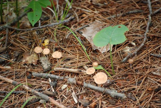
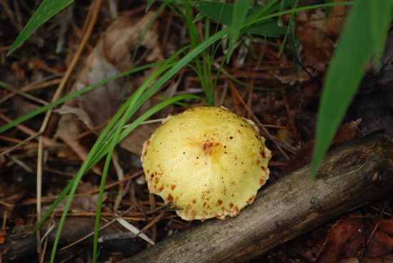
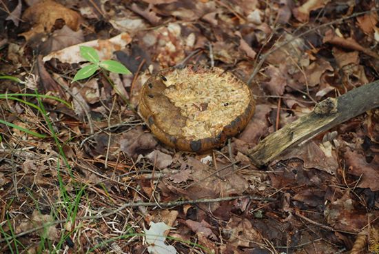
Normally by now I am seeing the first splashes of fall colors. I did finally see some Sunday along Hwy C on the way back from Wabeno. There was a general drabness to the leaves as the chlorophyll was dying off in advance of the season. A few of the leaves on the south side of the road were getting tinges of orange to them but just barely.

Well, I am going to have to come back in a little while. The distractions are running hot n heavy. BRB

RJB

Part 2

Sorry for the delay, there was a lot going on today.

We still have events, future weather and a few other things to cover. Let’s start with events..

September 10 Lena, WI
St. Anne Parish Grounds

25th Annual Lena Dairy Fest sponsored by the Lena Lions Club

Garden Tractor Pull at 7:00 PM

September 11 Parkway Inn

The Annual Country Fling from noon until ?

Live Country Music, Food and Fun for the whole family

September 11 Lena, WI
St. Anne Parish Grounds

25th Annual Lena Dairy Fest sponsored by the Lena Lions Club

5K Run/Walk at 8:00am, Parade at 10:00am, Food & Beverages, Farm Tractor Pull,
Live Music, New in 2010 – Car Show
Fireworks at dusk

September 11 Crivitz Airport
on W just west of town

Friends of Crivitz Airport Annual Fly-In

All day – Airport Open House / Young Eagles Fly-in
9:00am Free Rides for children 8 to 17 years old

September 11 Oconto Falls High School

Annual Oconto Falls “Hot Cake” Hustle Walk/Run

Proceeds benefis Home Respite Care of Oconto County
Visit hotcakehustle.com for more info

For the snowmobilers among us, this is also the weekend of Hay Days, the big grass drags and huge swap meet in Minnesota.

The weather this week looks pretty nice. We are expecting mostly clear weather with temps in the mid-60s until the weekend. It looks like there is a storm possible for Saturday. As usual I am going to say watch the timing on the storm.

Check out this weather report and forecast.. The Vostok Ice Station in Antarctica.. -104F & clear, but it will warm up to -79 tomorrow.

That is about it for today. Have a good week and thank you for visiting!

RJB

Sunday September 5th, 2010

Greetings and welcome!

Just a mid-weekend mini update to keep you current…

The rain for Monday got moved up a little, and we could see a little bit overnight tonight and tomorrow morning. It does not look like a lot. The big stuff comes later Monday night and Tuesday.

We did get cold at night, Friday night went down to 41, and last night hit 37.5. The day yesterday could have been a little warmer, but was nice where I was.

Today we are seeing the winds come around to the SSW and calm down a little. Late morning it is still in the mid-60s, but I expect to see it cross 70 later. We are still expecting mid-70s tomorrow.

We should get a break on temps tonight too, with the expected low around 50.

Have fun!

RJB

Friday September 2nd, 2010

Greetings and welcome!

We have a few things to update today. Yesterday’s report is below.

First up, the rain yesterday.. Yesterday’s rain came in two main waves. The second one started about dinner time and was the bigger of the two. The rainfall added up to between 0.8″ and 2.0″ according to the various gauges and radar returns. We got pounded pretty good here, but my bucket was not reset, so I don’t have a good tally.

Today is cool and breezy with a mix of clouds and sun. Right now we are just over 60F. The wind changes moment to moment, sometimes calm, sometimes gusty. Athelstane Weather did record a gust of 35 at some point today. The wind and chance of rain remains through this evening, but the strongest of the storm has passed.

The storm has continued to strengthen as it moves away and picks up the energy from the hurricane. The models are showing it getting down to a 980 central pressure at it’s peak, a very strong storm. Some people on the east coast and eastern half of Canada are not going to have a nice weekend for weather. Thankfully we got in on it early and it will be well to our east and north.

Things look a little better for the weekend than they did. The forecasters have moderated a little in their temperature predictions, and now we are looking for mid-60s Saturday, about 70 Sunday and mid-70s Monday. Low temps are also up a little in the forecast. They did enter a chance of rain on Monday, but from my research that looks minor until late in the day.

The rain has also given the whitewater rafting a nice boost. The Peshtigo came up to almost 200cfs, and based on how much rain we had and where it hit in the watershed, it should rise more over the weekend. A rising river is a fun river, and that is my prediction.

Along that same line, the rivers that flow to our waterfalls will benefit from the rain, so a waterfall tour is on the list of recommended activities.

Don’t let the cool start to the weekend throw you. It is not as bad as it sounds. There is a storm hot on the heels of this one that will bring rain Monday night. In advance of that storm we will see the winds shift from the northeast to the west and southwest and it will warm things up a little as the weekend progresses.

Sunny 65 for Saturday and 70 for Sunday sounds good, and so does increasing clouds and mid-70s for Monday. After tonight I am really expecting a really nice weekend. Saturday is probably the most notable-when some wind and a cool day meet the sunset under a clear sky, it will cool off.

With the cool day outside I am off to go and tackle a bunch of projects that I put off in the heat & humidity that we recently enjoyed.  It is perfect weather for outside work, I can wear long pants, but don’t need a jacket, and the wind will cool me off as I work.

Have a good weekend and thank you for visiting!

RJB

Thursday’s Update

Today I have more than 15 minutes to work on my report. My apologies for Tuesday’s hit n run.

It is rumbling outside as of 10:30 this morning, and we have had some decent waves of rain in the last hour or so. The storm that it is associated with will bring us rain ahead of the weekend, but is not expected to linger into Friday night or Saturday.

The storm itself is interesting. It is a big one with Gulf of Mexico moisture support and plenty of cold air for temperature contrast. It is strengthening as it passes over the UP and Lake Superior on its journey NE.

The temperature gradient is what catches my eye this morning. On one side of the storm we have 3ºC air up in Canada. On the south and west periphery of the storm temps are 21ºC, and on the east and south edges, 15-18ºC. That is a lot of temperature contrast, so there should be a lot of energy associated with the storm, especially when the hurricane joins forces with the low off of the east coast Friday.

The end result for us looks like rain now through Friday, followed by a cool weekend and some wind. As the storm passes, we will get some of that Canadian air. Friday night the maps are showing me 0ºC 850mb level temps, almost cold enough to snow (-4ºC) in the upper atmosphere.

The end result? Friday night’s forecast from the NWS is for lows in the middle 40s, with northwest wind 15 to 25 mph decreasing to 10 to 15 mph after midnight.

Saturday we are looking at highs in the low to mid-60s, again with 10-15mph winds. Saturday night should bring low 40s, and Sunday should bring a high of about 70. Look for upper 40s Sunday night and mid-70s Monday.

So, if you are planning outside stuff for this weekend, it will be nice, but on the cool side.  It will be warming as the weekend progresses but bring fall gear as well as summer stuff.

A couple of thoughts on the storm.. One.. If it were January it would be a classic winter storm. Warm in front, starts with rain and changes to snow, followed by some wind and cold out of the northwest. I’d guess it for 6-8″, maybe more.

Two.. The contrast in temperatures had me running the AC a little while last night to get rid of the stickiness, tomorrow night I’ll be rolled up in the blankets. I guess that temperature diversity is why I have so much stuff in my truck like shorts & Repel, plus long pants and a jacket. I took the mittens out in July.

Tuesday night I was out and spotted my buck again. He was a mile north of where he was before, and this time ran along the side of the road. I got another good look at him, and he was a pretty decent deer.

On the way back I ran into a line of showers and storms, or more accurately, two of them. There were a couple of lines of heavy rain and thunderstorms Tuesday night. They did not last long, but it was a good sky show. Area stations reported <1/4″ rainfall totals.

I was cleaning up my movie computer the other day and ran into some pictures that I never posted. This was the summer of the mushroom in my travels. July in particular had a lot of wet weather, and it was not lost on the world of fungus. Several times after taking pictures of a raft trip I would see how many different kinds of mushrooms I could photograph in the 1/2 mile or so walk back to the truck. This slideshow is from a single walk on August 1st.

(Click a picture to make it bigger, then hover your curser on the left or right side of the picture to advance to the next slide)

That is pretty amazing for a 1/2 mile walk in the woods. I thought maybe it was from a couple of them, but no, the file numbers are continuous. Yes there are several repeats, but still it is a lot of variety.

That is about it for today. Have a good weekend and thank you for visiting!

RJB

Tuesday August 31, 2010

Greetings and welcome!

I sure hate to see summer go, but here we are again. Tomorrow is the first day of September.

We have some interesting weather coming up this week. Today looks wet, tonight too. Then we get a short break, and late week should bring more rain. The NWS says the weekend will be nice and in the upper 60s and low 70s. I haven’t had a chance to check for myself and I have one foot on the path, so for now I will take their word on it.

The night skies finally got dark starting Sunday night. The last few nights have featured great stars until the moon rose.

I saw my buck again last night. He was about a mile farther north this time, and instead of running in front of the truck, he ran along the road looking for an opening. He still looked pretty nice.

It has been a busy few weeks for me, and apparently this one isn’t any different. I have to run off, but I wanted to at least cover the basics first. Sorry.

RJB

Here are some events..

Sept. 4 Town of Riverview
Fire House
Riverview FD & Auxiliary Annual Corn Roast
From noon 8 pm – Everyone Welcome.
Food & Refreshments, Free Corn, Music, Raffles, Children’s Games
Sept. 4 Valley Inn
Townsend
4th Annual Corn Roast and ATV PicnicHosted by the Red Arrow Snowmobile Club – Proceeds go to trail maintenance
ATV Parade at a10:30 am – Meat Raffles, Music, Food & Refreshments
Sept. 4 Amberg
Pavilion & Ball Diamond
30th Annual Fireman’s Picnic & ParadeParade at 11am, Food & Refreshments, Music, Raffles, Children’s Games
Live music from 6-10 pm
Sept. 4 Eagle Creek Pub
Silver Cliff
“Labor Day Weekend Celebration”
“Customer Appreciation Corn Roast & Beer”
Everyone is invited to attend. Fun, fellowship, music and tons of corn!
Sept. 5 Eagle Creek Pub
Silver Cliff
“Labor Day Weekend Celebration & Fish Boil”
Come enjoy one last bash marking the end of summer with a “Fish Boil”
A great bargain for a delicious meal of fish, potatoes, carrots, onions and rye bread.
Sept. 5 Northwoods Bar – Athelstane
Benson Lake Rd & Northway Dr.
34th Annual Auction Fundraiser to Benefit
the Athelstane Fire Department and the Silver Cliff Rescue Squad
Parade at 10:30am – Auction to follow – Food, games, music
Sept. 5 Crooked Lake Fire Dept. Firemen’s Breakfast
8 am to Noon
Sept. 5 Lakewood Town Hall Lakewood Fire Dept. Corn Roast
Live music, food, refreshments, games, free sweet corn.