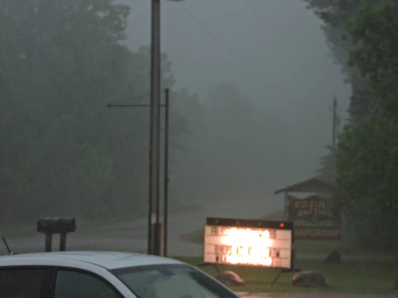
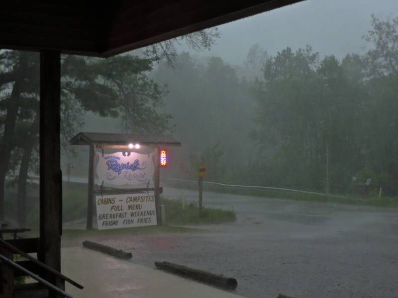
We had some heavy weather move through the area early afternoon. It had a lot of thunder & lightning, and the radar showed rotation. Tornado warnings, and heading this way @ 60mph.. Left the house at about 1pm and took shelter @ Rapids Resort. The storm was impressive but not severe. Apparently that was about 10 miles south.
8:52pm
Went back to the Rapids late afternoon. Reports from patrons said that there were trees down on Caldron Falls Rd at Thunder Mountain Ranch. The damage path went down Ranch Rd and went south to X & Parkway. One guy said that there wasn’t a driveway on Ranch Rd that didn’t have a tree down. Another report said that the damage hit Crivitz too. These are early reports from people at the bar. Take them as such. I will update as I can.
Looking at the radar there is another big line of red and yellow thunderstorms heading this way.
Oh yeah.. the 10 year anniversary of the Bear Paw tornado was 4 days ago.
RJB
Ray,
It looked like we were going to get some of that WX action in Green Bay but just when it hit western Brown county, Moses stood up and parted the line of storms. Not one drop of rain on the east side of GB and we need some. This happens frequently during summer and winter storms. Do you have any theories on this phenomenon? Is it possibly the low elevation in the Fox River valley and Green Bay?
We have a phenomenon around here like that. I named it the Silver Cliff Split. A big storm will be bearing down on us and just evaporate 20 or 30 miles before it gets here. 20 miles on either side will still get the storm.
My theory is that it runs into drier air as a result of the land not giving up as much moisture to keep feeding the storms. They blew up all of the beaver dams in the Nicolet, and instead of ample wetlands, they have dry sedge meadows with a creek. That won’t give up the moisture like a wetland would.
It could be elevation related if that area tends to hold drier and more stable air, like in a valley.
I really don’t know, but those are my theories so far.
Best wishes-
Ray