Greetings and welcome!
The ATV trails open tomorrow in Marinette, Forest, and Oconto Counties. They have dried up nicely since last weekend. We had about 0.7″ of rain this week, not enough to make a lot of mud or puddles, so it is all systems go for the ATV trails.
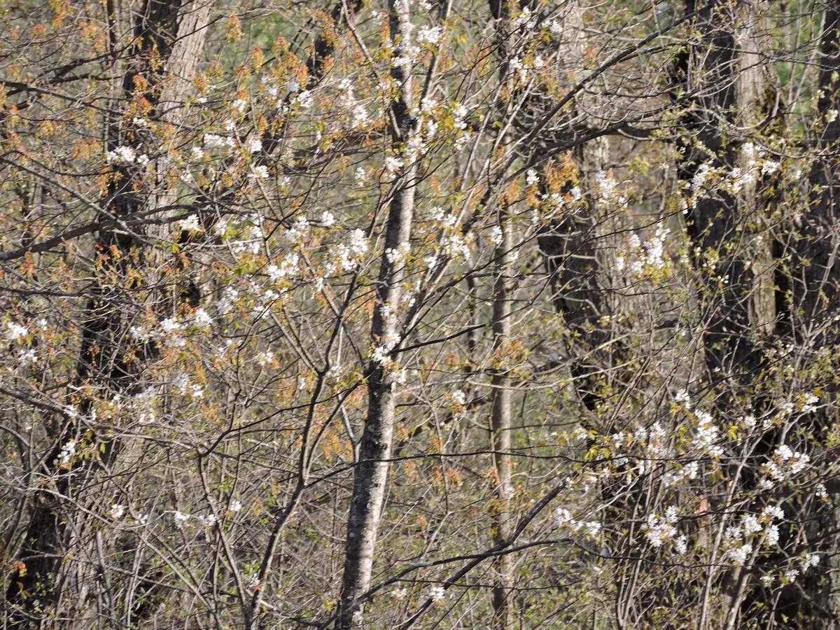
A lot more grass has greened up this week. I will probably need to cut it next week. The maples are getting heavy with helicopters. The first choke cherries are in bloom, and I saw my first fern fiddle heads of the year yesterday.

The bugs still are not bad at all, though I am expecting them any day now. Hopefully a lot got frozen out by our mini-spring and return to winter in April. We are going to frost again tonight with a low of about 30.
This Sunday is Mother’s Day. First on the list is the Kosir’s special where Mom rafts free with a paid trip. The water level is fun but not enormous, and it should be a nice weekend for weather. Like I said on their blog, give Mom the gift of an exciting day.
There are also dining options. Mother’s Day is one of the biggest days in the restaurant industry. Rapids Resort is having a chicken dinner special Sunday, and I am a fan of their Sat night prime rib. Hilltop Resort also has a Mother’s Day buffet in grand style Sunday.
Fire danger is down a little this week with the greening and little bit of rain. I am still in super-caution mode around here, there is a lot of dry field grass that would love to burn.
There is some rain expected downstate Friday. All of my guidance says that it will stay south of Hwy 64. The NWS put a 20% chance in the forecast for Friday afternoon and Friday night. For temps we are looking at low 50s Friday, low 60s Saturday, and low 70s Sunday. Be ready for chilly nights though, the NWS forecast is for 33 Friday night and 38 Saturday night.
That’s news from here. Have a great weekend and thank you for visiting!
RJB
I’ve noticed over the past few years, Kosir’s hasn’t been posting the river levels (bridge gage) on a regular basis, if at all….. In the past, it was updated just about every day….. While posting the USGS data is better than nothing, the really meaningful data to us paddlers (rafters, kayakers AND canoeists) is where it is on the bridge…. On their website, they have an illustration of the “bridge gage” and a whole dissertation on water levels, but no [bridge gage] water level data!! If they’re not gonna commit to sending someone out to the bridge, which takes all of 5 minutes, could you possibly talk to the powers-that-be at Kosir’s about adding a conversion scale to the website illustration so we know where the river’s at?
I’m tentatively planning on a rafting trip in late June (my boy and his friends have finally passed the 12 year old threshold, yay!), so hopefully it will be an epic year like last year. But, without good river level info, it’s hard to plan….. From my experience of doing Section 3 of the Pesh for the past 20+ years (rafting AND canoeing), anything below 2 or 3 is not worth it……